
Things I’ve published, in one way or another
This is a comprehensive list of my publications. As of this date, all are conference papers, web sites, and web apps; however, it would not be unreasonable to expect a few journal articles in the not-so-distant future.
2023-09-26 | The Cartography of Middle-earth
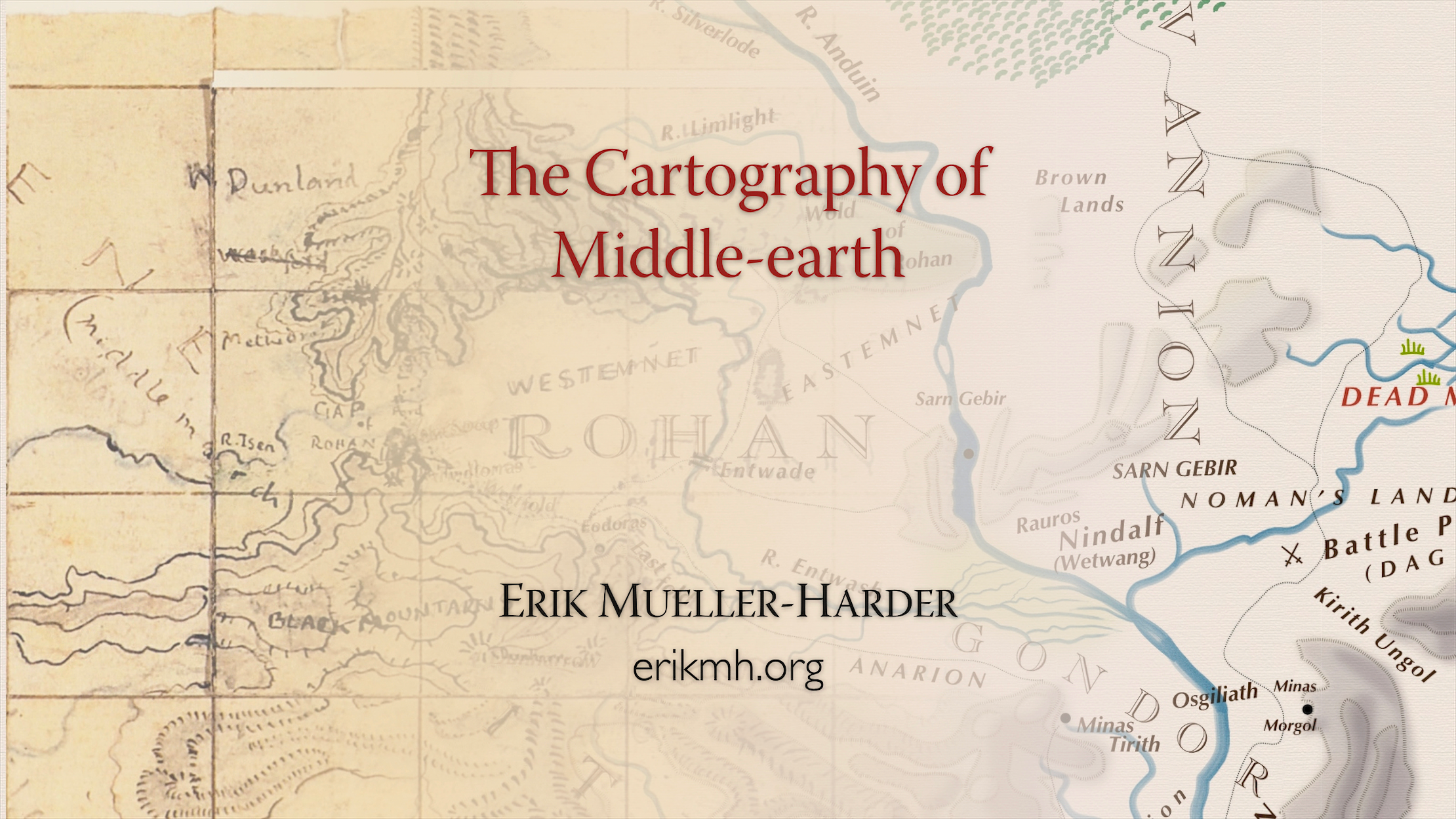
Guest lecture (via Zoom) for Dr. Marc Zender’s Tolkien As Translator: Language, Culture, and Society in Middle-earth freshman seminar at Tulane University. A slight reworking of my 2022 lecture.
abstract
J.R.R. Tolkien and his son Christopher have long been given credit for developing a “pseudo-Medieval” map style suitable for use in fantasy books. This lecture explores their work within the twin contexts of the history of fantastical maps and contemporary cartographic practice and theory. Though on these maps there indeed be dragons, their relationship to state-of-the-art contemporary cartography may seem surprising.
2022-10-13 | The Cartography of Middle-earth
Guest lecture (via Zoom) for Dr. Marc Zender’s Tolkien As Translator: Language, Culture, and Society in Middle-earth freshman seminar at Tulane University. A slight reworking of my 2021 lecture.
abstract
J.R.R. Tolkien and his son Christopher have long been given credit for developing a “pseudo-Medieval” map style suitable for use in fantasy books. This lecture explores their work within the twin contexts of the history of fantastical maps and contemporary cartographic practice and theory. Though on these maps there indeed be dragons, their relationship to state-of-the-art contemporary cartography may seem surprising.
2022-05-10 | Anduin™
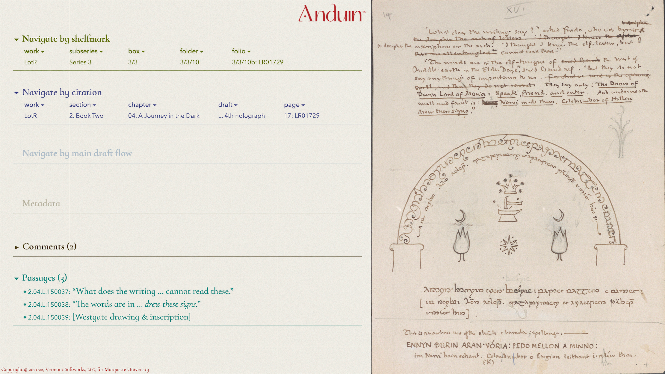
The first publicly accessible iteration of the Anduin™ CMS, which I’m building for the Tolkien Collection at Marquette University, goes live.
2021-10-19 | The Cartography of Middle-earth
Guest lecture (via Zoom) for Dr. Marc Zender’s Tolkien As Translator: Language, Culture, and Society in Middle-earth freshman seminar at Tulane University. A slight reworking of 2020’s lecture.
abstract
J.R.R. Tolkien and his son Christopher have long been given credit for developing a “pseudo-Medieval” map style suitable for use in fantasy books. This lecture explores their work within the twin contexts of the history of fantastical maps and contemporary cartographic practice and theory. Though on these maps there indeed be dragons, their relationship to state-of-the-art contemporary cartography may seem surprising.
2021-07-09 | Tolkien Experience Podcast
I was the guest of the week on Luke Shelton and Sara Brown’s Tolkien Experience Podcast № 35.
2021-05-11 | Christopher Tolkien, Cartographer
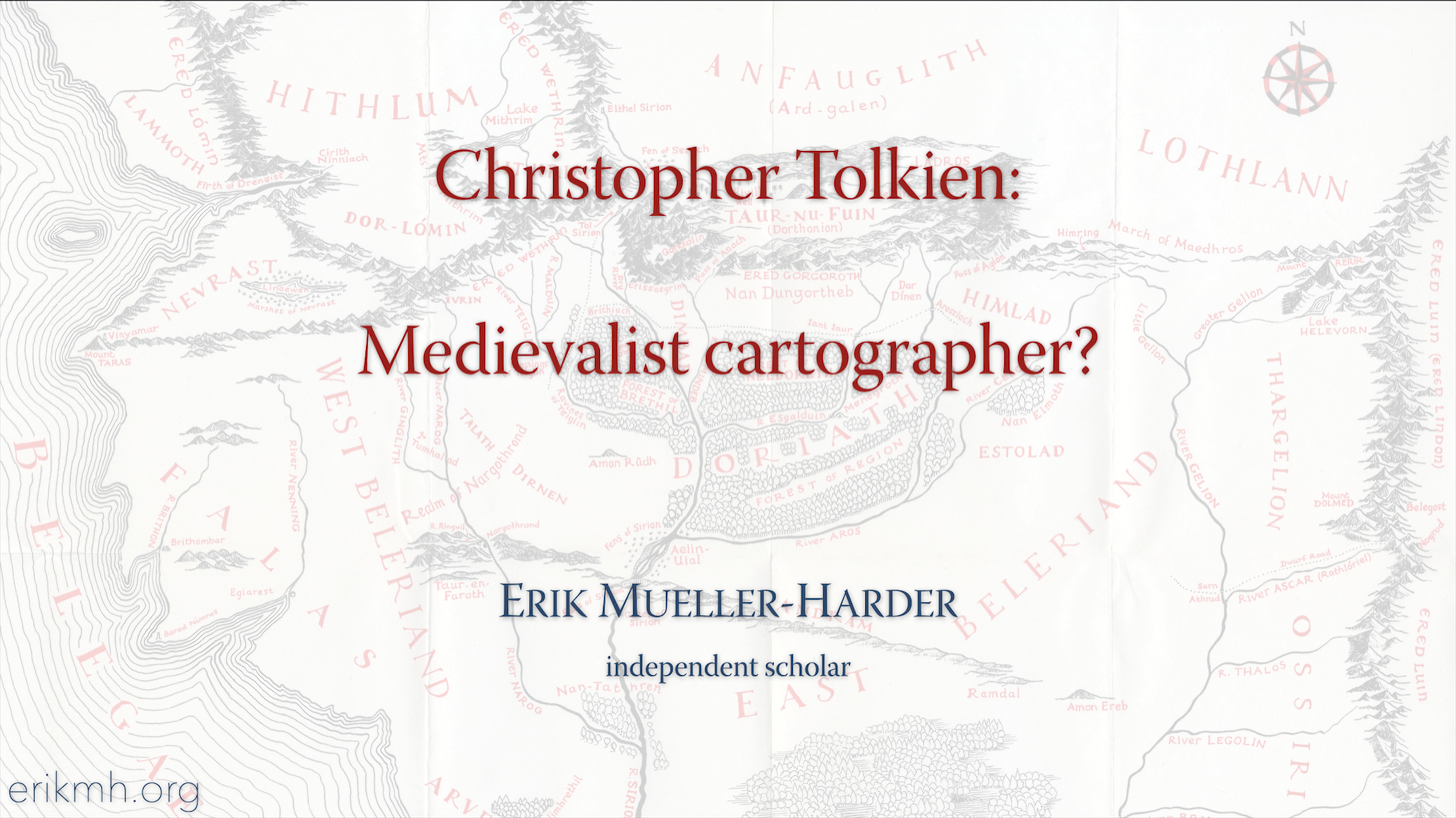
Opening statement given for the (virtual) “Christopher Tolkien, Medievalist (1924 – 2020)” roundtable at the 56th International Congress on Medieval Studies at Kalamazoo.
abstract
Christopher Tolkien designed and drew the maps of Middle-earth that we think of as most canonical; these maps are almost universally hailed as “Medieval” and as the norm for subsequent epic fantasy novels. His exquisite work intentionally mimicked his father’s, however, and is Modern, not Medieval.
2021-05-08 | Tolkien’s First Map of “The Lord of the Rings”:
Connecting the Lost Connections
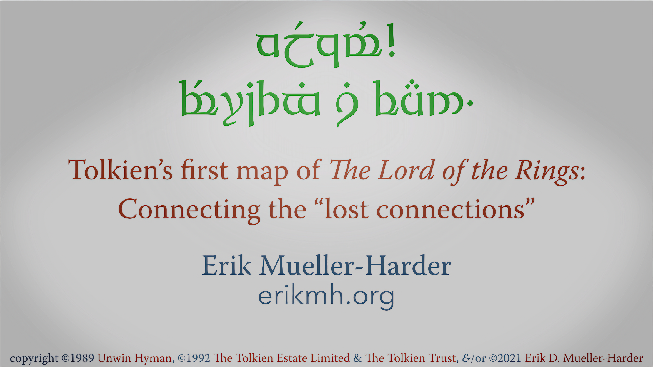
Paper given (virtually) at the Tolkien Seminar prior to the International Congress on Medieval Studies in Kalamazoo.
abstract
Thirty-two years ago, Christopher Tolkien introduced us to what he called “the First Map of The Lord of the Rings.” Though now it’s a world traveller, showcased in climate-controlled library exhibitions such as the recent Tolkien: Maker of Middle-earth and Tolkien: Voyage en Terre du Milieu as well as 1990’s J.R.R. Tolkien: Life and Legend, the map had a rough early life, in “constant use,” according to Christopher Tolkien, from its initial construction right up until his father began writing Book V of LotR in (probably) late 1946.
An examination of the map’s initial construction and subsequent alterations shows imperfections and inconsistencies in its reference base, often offsetting nearly five or ten miles of mapped Middle-earth terrain; Tolkien worked around these as he drew, taking them into account. But these offsets are as nothing when compared to the “continental drift” caused by constant creasing and folding and subsequent repair work. As Christopher Tolkien writes, “it is wrinkled, creased, and broken from constant use, so that connections are lost.…” Indeed, misalignments and gaps in many places are 25 miles wide.
With diligent work, we can digitally realign misaligned sections of the map, correcting some of the injuries and misrepairs of the map’s later years while not ourselves hyper-repairing the map’s initial faults. This can give us a much clearer picture of what this map looked like near the end of its active life.
Further, we can create multiple redrawings of the map which can give us insight into how it looked at various earlier stages of its development.
2020-10-07 | The Cartography of Middle-earth
Guest lecture (via Zoom) for Dr. Marc Zender’s Tolkien As Translator: Language, Culture, and Society in Middle-earth freshman seminar at Tulane University.
abstract
J.R.R. Tolkien and his son Christopher have long been given credit for developing a “pseudo-Medieval” map style suitable for use in fantasy books. This lecture explores their work within the twin contexts of the history of fantastical maps and contemporary cartographic practice and theory. Though on these maps there indeed be dragons, their relationship to state-of-the-art contemporary cartography may seem surprising.
2020-05-01 | “Tolkien Art Index” note in Mallorn
A note published in volume 60 of Mallorn, the journal of the Tolkien Society, describing the Tolkien Art Index, including its history, its future, and practical matters of its use.
2020-03-02 | Digital Tolkien guest-practitioner-of-the-week
I engaged on-line with students of Dr. Robin Reid’s “Digital Tolkien” class at the University of Texas, Commerce. This largely consisted of text-based forum discussions centered on the Tolkien Art Index, LR Citations, and other such tools, as well as my own background related to Tolkien, software development, and cartography.
2020-02-27 | TolkienMoot
Created the TolkienMoot community forum for Tolkien researchers and academically-minded fans.
2020-02-19 | Tolkienists.org
Created the Tolkienists web site, listing conferences, publications, researchers, web sites, blogs, and other resources for Tolkien researchers (and fans).
2019-11-11 | Tolkien & The Digital Humanities
Guest lecture for Dr. Marc Zender’s Tolkien As Translator: Language, Culture, and Society in Middle-earth freshman seminar at Tulane University.
outline
A survey of a number of Tolkien/DH projects currently going on, as well as a bit of history:
- Oxford English Dictionary
- A Tolkien Thesaurus (Richard Blackwelder)
- The Complete Guide to Middle-earth (Robert Foster)
- Amazon reviews (Alecia Fox-Lenz)
- The Lord of the Rings Manuscript Collection (Raynor Memorial Libraries, Marquette University)
- FellowsHub (Raynor Memorial Libraries, Marquette University)
- Fandom Oral History Collection (Raynor Memorial Libraries, Marquette University)
- Mythlore Index Plus (Janet Croft)
- Digital Tolkien (James Tauber)
- LR Citations (Erik Mueller-Harder)
- Hobbit Paragraph Index (Sparrow Alden)
- Tolkien Art Index (Erik Mueller-Harder)
2019-08-08 | The “lost connections” of Tolkien’s first map of The Lord of the Rings:
Part III ⧽ Reconstruction
Paper given at Tolkien 2019 — 50 years of The Tolkien Society.
abstract
Exactly thirty years ago, Christopher Tolkien introduced us to what he called “the First Map of The Lord of the Rings.” Though now it’s a world traveller, showcased in climate-controlled library exhibitions such as “Tolkien: Maker of Middle-earth” and 1990’s “J.R.R. Tolkien: Life and Legend,” the map had a rough early life, in “constant use,” according to Christopher Tolkien, from its initial construction right up until his father began writing Book V of LotR in (probably) late 1946.
An examination of the map’s initial construction and subsequent alterations shows imperfections and inconsistancies in its reference base, often offsetting nearly five or ten miles of mapped Middle-earth terrain; Tolkien worked around these as he drew, taking them into account. But these are as nothing when compared to the “continental drift” caused by constant creasing and folding and subsequent repair work. As Christopher Tolkien writes, “it is wrinkled, creased, and broken from constant use, so that connections are lost.…” Indeed, misalignments and gaps in many places are 25 miles wide.
With diligent work, we can digitally realign misaligned sections of the map, correcting some of the injuries and misrepairs of the map’s later years while not ourselves hyper-repairing the map’s initial faults. This can give us a much clearer picture of what this map looked like at the end of its active life, as well as insight into how it looked at various earlier stages of its development.
2019-07-01 | The “lost connections” of Tolkien’s first map of The Lord of the Rings:
Part II ⧽ Context: Medieval & Modern
Paper given at session № 330 at International Medieval Congress Leeds 2019
abstract
Tolkien’s “First Map” of The Lord of the Rings is a “strange, battered, fascinating, extremely complicated and highly characteristic document,” according to his son Christopher, “and it has an exceedingly ‘Elvish’ and archaic air. … It is wrinkled, creased, and broken from constant use, so that connections are lost.…” Karen Wynn Fonstad held that “Tolkien was envisioning his world much as our Medieval cartographers viewed our own,” but is it Medieval?
We will investigate the history of this map that served as Tolkien’s main reference and working map for years, until it broke under the strain; we’ll literally unwrinkle it, de-crease it, and repair it, in the search for lost connections in Middle-earth space and real-earth time.
2019-04-06 | The “lost connections” of Tolkien’s first map of The Lord of the Rings:
Part I ⧽ Deconstruction
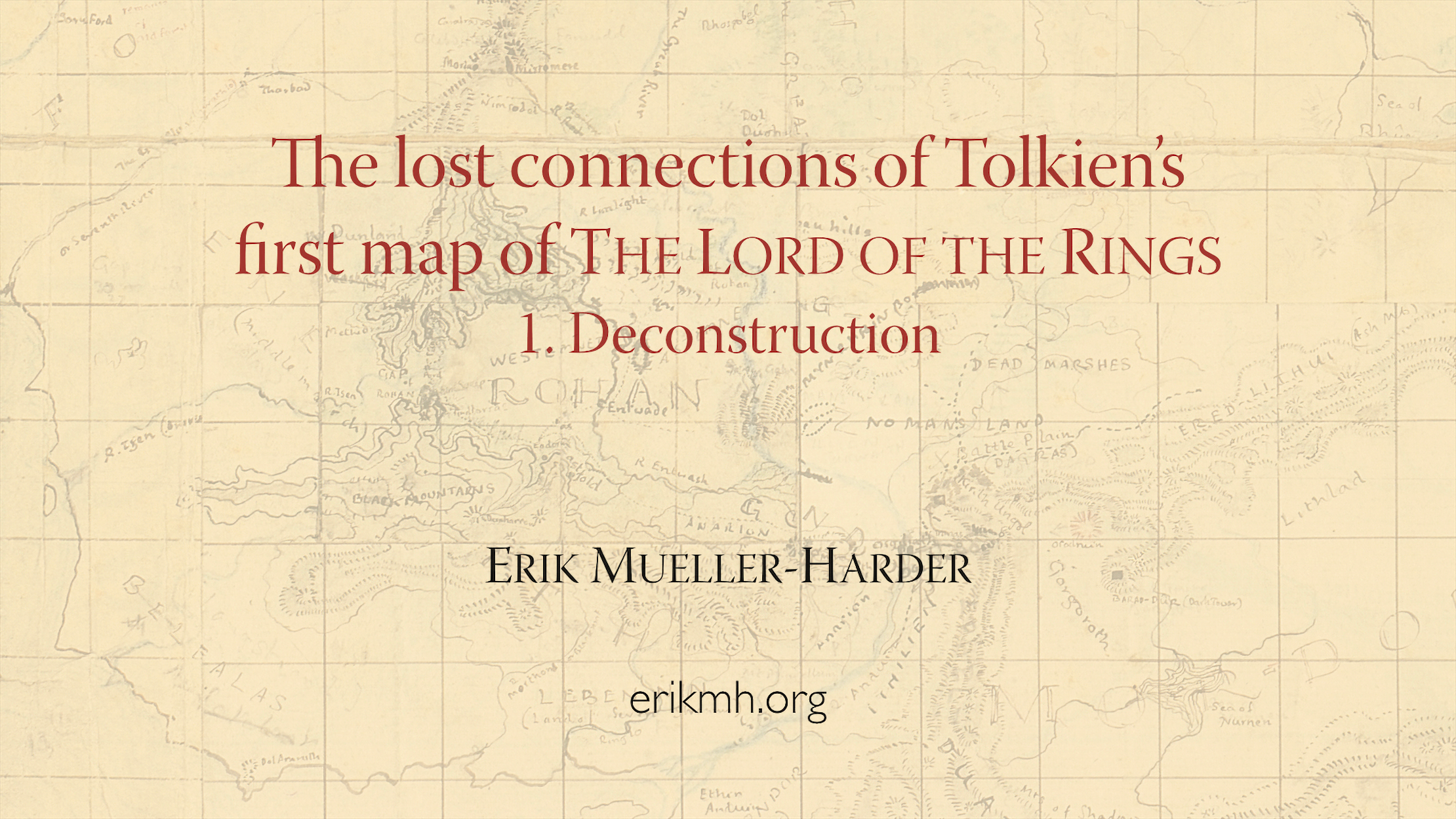
Paper given at the 16th Tolkien in Vermont Conference at UVM
abstract
Thirty years ago, the “strange, battered, fascinating” first map of The Lord of the Rings was described by Christopher Tolkien as “wrinkled, creased, and broken from constant use, so that connections are lost.” This paper examines the original construction of the map, its presentation and representation over the decades, and the lost connections and information that might yet be recovered from this “‘Elvish’ and archaic” document. It further will demonstrate that not everything about this map — as reproduced in publications and as presented in the “Tolkien: Maker of Middle-earth” exhibit — is as it seems. And finally, it will suggest a method for discussing the map as it may have existed at various points in time.
2018-10-18 | Mapping Middle-earth:
Questing for “real facts” in a fictitious world
Paper given at the North American Cartographic Information Society’s annual meeting in Norfolk, Virginia.
abstract
Fantasy authors nearly always include maps in their books to show the region or world in which their stories take place. These maps are typically drawn by the author or redrawn by a publisher’s artist, and they are accepted by readers as absolute canon. Though most authors probably heed the advice of J.R.R. Tolkien, to start their world-building “with a map, and [make] the story fit, … [since] the other way about lands one in confusions and impossibilities,” Tolkien himself did not — and the results were much as he stated.
Join the fellowship as we explore the challenges of making maps where descriptions are the data, where fictional characters’ conflicting accounts are primary sources, where “impressionistic” contour lines are DEMs, and where even the author’s own conceptions of a landscape change over time. The forensic map maker must be wiley, and wary of the lures of conjecture, inference, and imagination. For even with such modern tools as relational databases, normalization of decades-old maps, and vector-based cartography software (all to be demonstrated!), making the map of Middle-earth that Tolkien would have made had he had the time is a quest not for the faint of heart.
[Nota bene: No love of — nor indeed even familiarity with — The Lord of the Rings, The Hobbit, or Middle-earth is assumed.]
2018-07-21 | “Lord of the Rings Citations”: A tour
Paper given at Mythcon 49 “On the Shoulders of Giants” conference in Atlanta, Georgia.
abstract
Lord of the Rings Citations provides a two-pronged solution to the perennial problem of how to cite quotations from The Lord of the Rings. First, it furnishes cross references for the pagination of five common typesettings of LotR. Second, it supplies its own logical citation system suitable for use with any edition of the book, including non-paginated electronic editions. LRC also provides an index to correlated passages in Hammond & Scull’s The Lord of the Rings: A Reader’s Companion and in “Words, Phrases and Passages” found in Parma Eldalamberon 17.
2018-07-21 | “Tolkien Art Index”: A tour
Paper given at Mythcon 49 “On the Shoulders of Giants” conference in Atlanta, Georgia.
abstract
The Tolkien Art Index is a new, free, on-line resource for Tolkien scholars and enthusiasts — thus far listing 480 distinct works of mostly Middle-earth related art all painted, drawn, sketched, or mapped by J.R.R. Tolkien. The heart of the Index is its immutable numbering system, but we’ll also explore the site’s structure, including the (nearly) exhaustive publications list available for each piece of artwork; its tagging systems for geography, subject matter, art media, and characters; and its library reference numbers for items in both the Marquette and the Bodleian collections. Finally, there will be an opportunity to suggest future additional features, changes, and expansion to the Index and its site.
2018-05-09 | The Tolkien Art Index
Paper given at the Tolkien seminar immediately prior to the International Medieval Congress in Kalamazoo.
abstract
The Tolkien Art Index is a new, free, on-line resource for Tolkien scholars and enthusiasts — thus far listing 463 distinct works of mostly Middle-earth related art all painted, drawn, sketched, or mapped by J.R.R. Tolkien. We’ll explore the site’s structure, including the exhaustive publications list available for each piece of artwork; its tagging systems for geography, subject matter, art media, and characters; and its library reference numbers for items in both the Marquette and Bodleian collections. We’ll also take a brief look at how the thumbnail images were produced. Finally, there will be an opportunity to suggest future additional features, changes, and expansion to the Index and its site.
2018-04-07 | Mapping Mordor:
Normalizing Tolkien’s maps as the first step in examining his worldbuilding method of construction-by-revision; or, Yet further confirmation (as if we needed it) that Tolkien had no master plan, did not “first make a map and make the narrative agree,” and, in fact, never did produce a map that exactly portrays what’s described in The Lord of the Rings
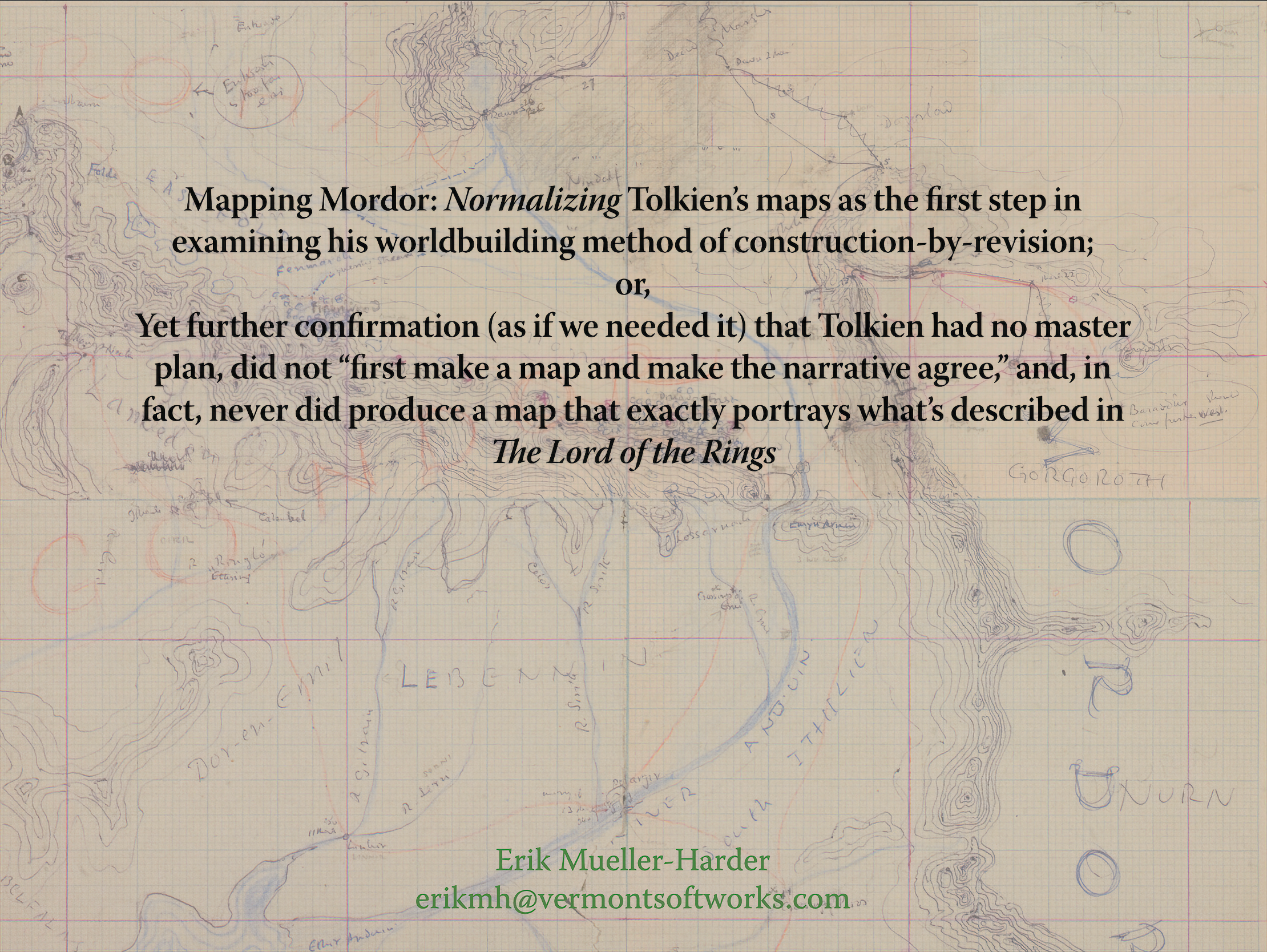
Paper given at the 15th Tolkien in Vermont conference at UVM.
2017-07-05 | Tolkien Art Index
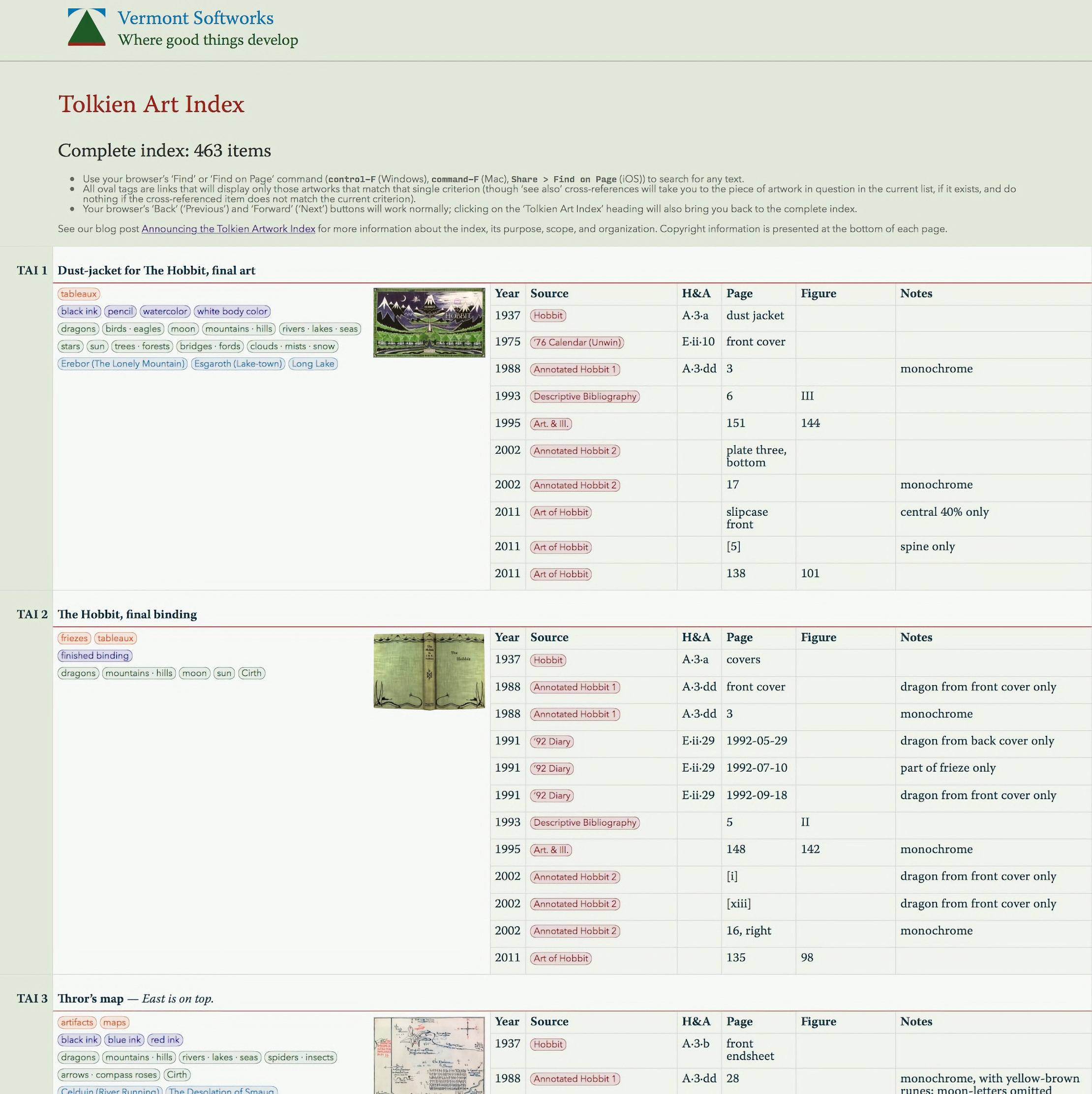
Created the Tolkien Art Index web app for simply and unambiguously referencing all of Tolkien’s Middle-earth-related artwork.
2017-05-10 | The river Swanfleet:
A journey from the Misty Mountains to flat fenlands and half-way back again; or, How the discovery of Tolkien’s annotated map of Middle-earth by Blackwell’s Rare Books in Oxford extricates Pauline Bay
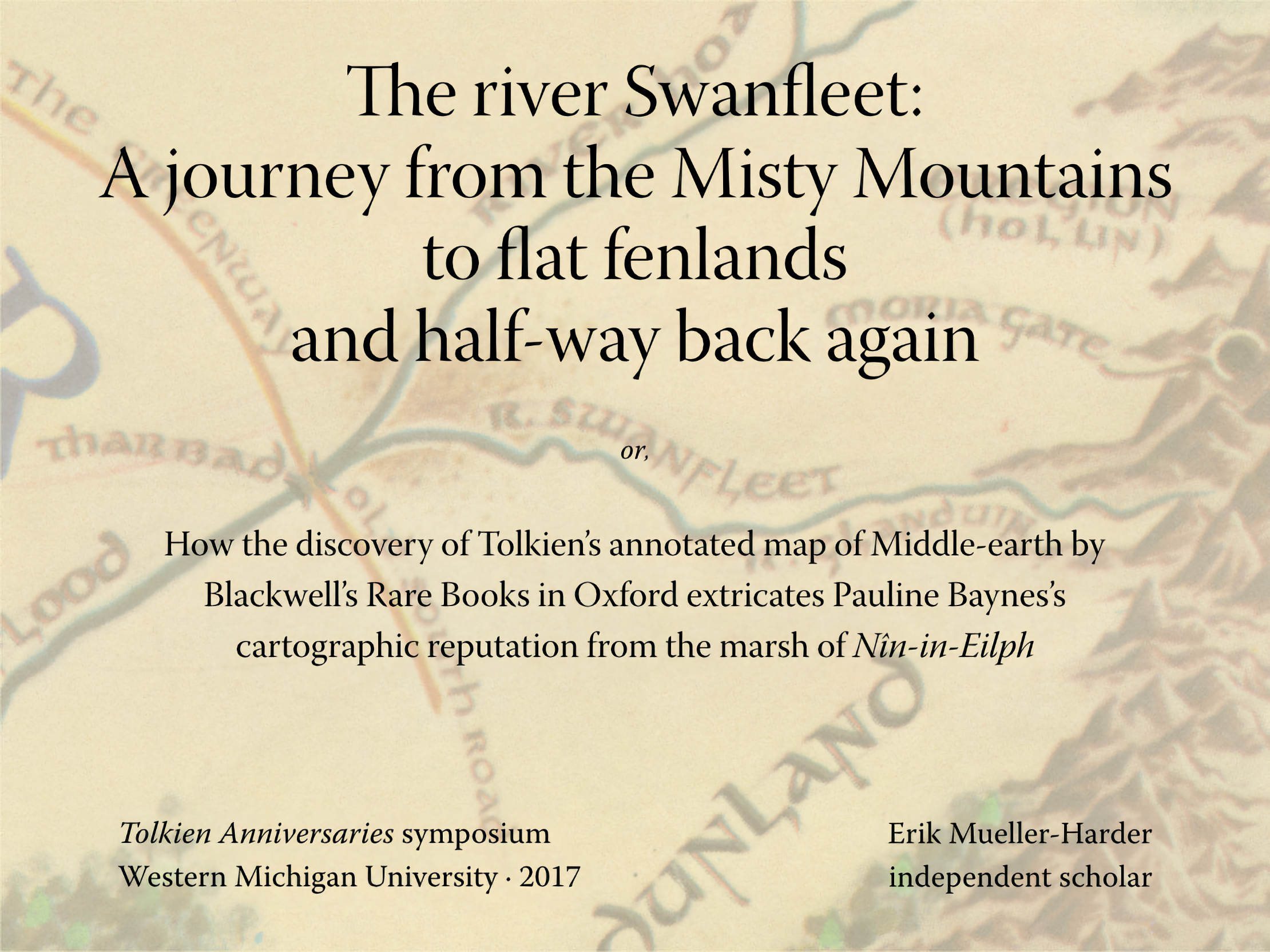
Paper given at the “Tolkien Anniversaries” symposium immediately prior to the International Medieval Congress in Kalamazoo.
abstract
Just as Christopher Tolkien’s exacting work in The History of Middle-earth has provided both the basis for and the standard with which we measure research into his father’s Middle-earthly subcreation, so too have his maps of the west of Middle-earth at the end of the Third Age long served as both the canonical representation of Middle-earth and the gauge with which we have measured all subsequent Media-terrestrial cartography.
The recent discovery of the map that J.R.R. Tolkien himself annotated for Pauline Baynes’s reference in producing her 1970 poster map, however, now provides a welcome opportunity to explore some issues that J.R.R. Tolkien said “give some trouble,” and which Christopher Tolkien agreed have “bedevilled … representation on the maps.” Of particular interest is the mysterious relationship of “Swanfleet” to the fens of Nîn-in-Eilph and the Glanduin River, about which Christopher Tolkien, Wayne Hammond and Christina Scull, and Karen Wynn Fonstad have all implicitly or explictly concluded that Baynes “misunderstood.”
This paper demonstrates that Baynes had it right all along, and that this is a rare case where Christopher Tolkien went astray, taking Hammond, Scull, and Fonstad with him. Along the way, we will also make brief excursions to several little-known rivers in Gondor and through the famed vineyards of Dorwinion.
2017-04-08 | Far-away places with strange-sounding names:
Endonyms (autonyms), exonyms (xenonyms), and the romance of Tolkien’s toponymy of Middle-earth; or, On the redundancy of Bree-hill, the heady topper of the Brandywine, and how the discovery of Tolkien’s annotated map of Middle-earth by Blackwell’s Rare Books in Oxford extricates Pauline Baynes’s cartographic reputation from the fens of Nîn-in-Eilph
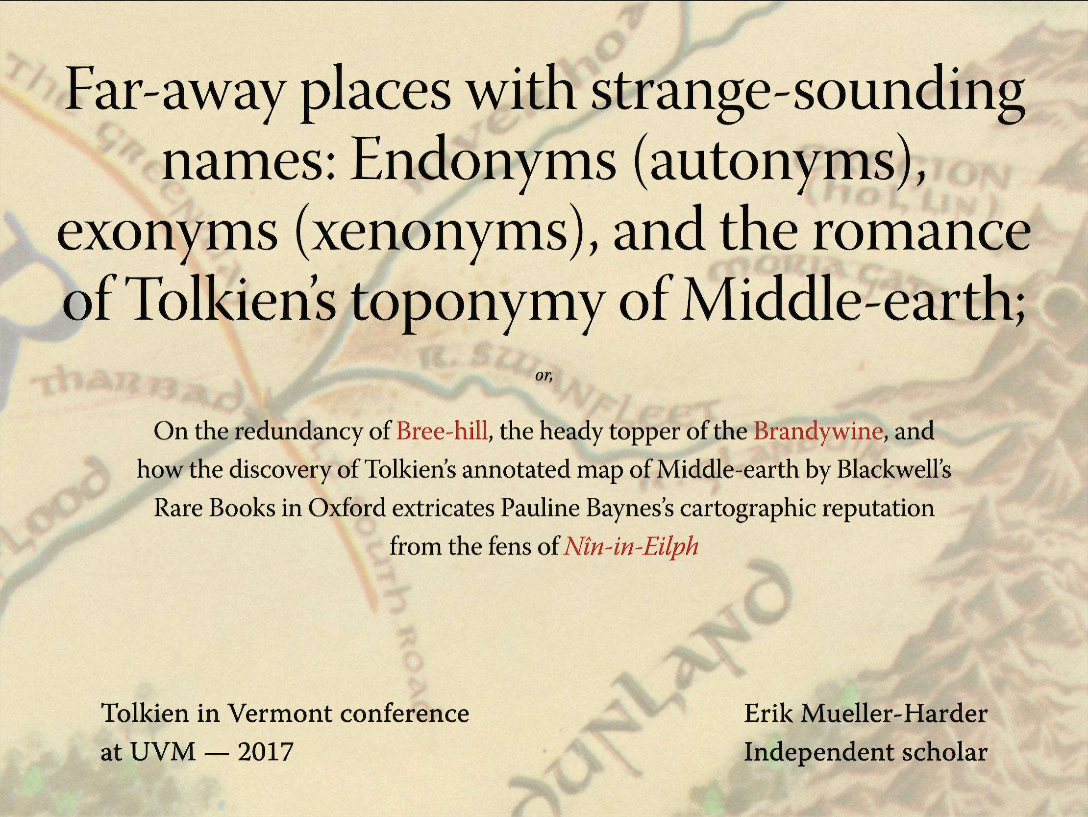
Paper given at the 14th Tolkien in Vermont conference at UVM.
abstract
For forty-five years, we have speculated about 1970’s “A Map of Middle-earth” painted by Pauline Baynes: even Christopher Tolkien himself has weighed in on the question! Dorwinion? R. Swanfleet? Glanduin? Tumladen? Trees in Ened[h]waith? Quite a few locations and features mentioned in The Lord of the Rings or The Hobbit — unmarked on the Tolkiens’ published maps of the ’30s and ’50s — can be found on the Baynes map; but how much was merely her own invention, and how much was directed by J.R.R. Tolkien? The credulous have long held that the Baynes map is fully “canon,” for we know that Baynes did consult with Tolkien. The skeptical have argued that we have not known specifically what information he gave her. Much was made clear by the discovery in 2015 of the published map upon which Tolkien made notes for Baynes, but R. Swanfleet, at least, may still hold a mystery. Is it coëxtensive with Glanduin (which also appears for the first time on the Baynes map), but rendered in Common Speech? Or is it in fact Nîn-in-Eilph, the swamp Christopher Tolkien added in his 1980 re-drawing of “The West of Middle-earth at the End of the Third Age,” translated into Westron? And what’s with all the doubled names on the maps, anyway: why both Hithaeglir and Misty Mountains? As with so much else in The Lord of the Rings, Tolkien’s toponymy comforts us when we’re at home in the Shire, puts us on edge as we venture further afield, gives Tolkien an excuse to create layer upon layer of linguistic wordplay, and provides much interesting ambiguity for us to consider.
2013-12-06 | LR Citations
Created LR Citations web app, to aid with citing passages from The Lord of the Rings without the need to refer to a particular canonical pagination.
2013-11-08 | Tolkien in Vermont web site

Created a web site for the annual Tolkien in Vermont conference at UVM.